(Japanese)
To the table of photograps
Yotsuya - Akasakamitsuke - Kasumigaseki
(Japanese)
![]() Clik the botton to return the last page
Clik the botton to return the last page
To the table of photograps ![]()
 | I turned left and walked along Sotobori avenue to Akasakamitsuke. |
 | Akasaka Guest House |
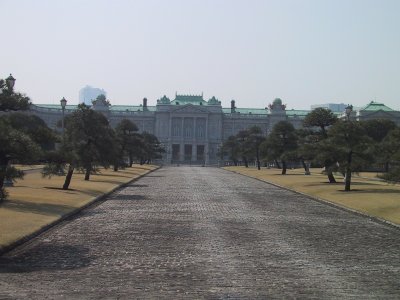 | Akasaka Guest House |
 | The playground of Jouchi(St.Sophia) University along a moat |
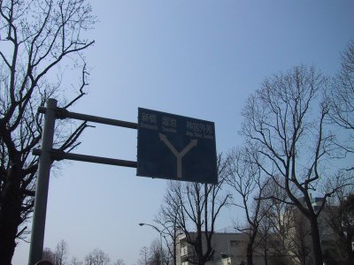
 | The part in which the Imperial Family's residences gather. The residences of Imperial families, such as the Crown Prince and Akishino-no-Miya, are in the site which connects Akasakamitsuke, Aoyama 1-chome, and Meiji-jingu Outer Gardens from Yotsuya. |
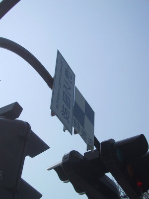 |
Kinokuni-zaka intersection |
 | The large hotel groups in Akasakamitsuke Left-hand side is New Otani and right-hand side is Akasaka Prince Hotel. A foreground is the Metropolitan Expressway No. 4 rout connected to the Chuou Expressway through Shinjuku from center of Tokyo. |
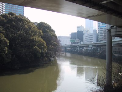 | The Benkei moat I walked to Akasakamitsuke under the Metropolitan Expressway No. 4 route. |
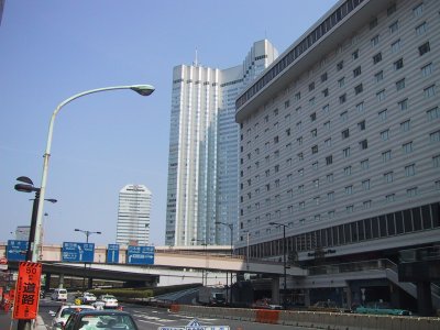
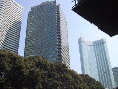 | The foreground is New Otani and the back is Akasaka Prince Hotel. |
 | I walked to Tameike at the upper right of a map. |
 |
The other side of the Benkei bridge is Akasaka Prince Hotel. |
 | Akasakamitsuke intersection |
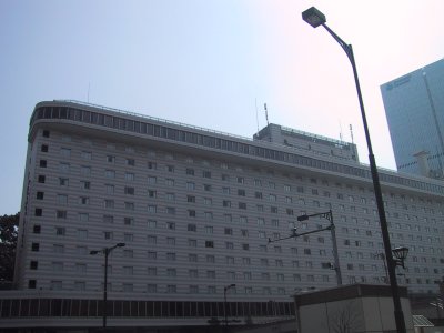 | Akasaka Excel hotel Tokyu in Akasakamitsuke |
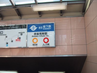 | Eidan Marunouchi Line Akasakamitsuke station |
 | The hotel group of the Akasakamitsuke intersection This side is Akasaka Excel hotel Tokyu, and back is the Akasaka prince. |
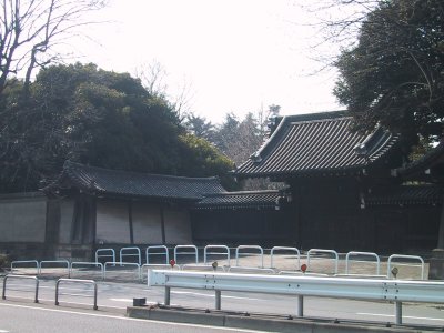
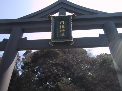 | Hie Sannou-sha shrine I passed over this gateway to a Shinto shrine, turned to the right, and walked to the Prime Minister's official residence through the same way as Chiyoda Line via the west approach in a Hie Sannou-sha shrine. |
 | The intersection in front of the Prime Minister's official residence |
 | Prime Minister's official residence Right-hand side is a new official residence, and left-hand side is the old official residence. |
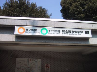 | Eidan Marunouchi Line Kokkaigijidomae station |
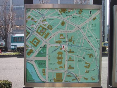 | The guide map around the Diet Building The building to which the ellipse of three pieces under a central arrow is connected at the end is the Diet Building. A top is the House of Representatives and the bottom is the House of Councilors. Marunouchi Line is a blue route which progresses aslant and turns at the lower left of an arrow at the upper left. |
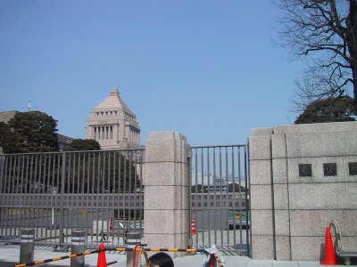 | Diet Building House of Representatives |
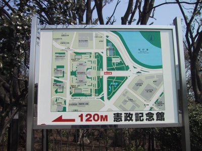 | The map around the Parliamentary Museum The left of the red mark of a its present location is the Diet Building, and the right is Sakuradamon. |
 | Diet Building |
 | I turned left at the Ministry of Foreign Affairs upper part intersection.
|
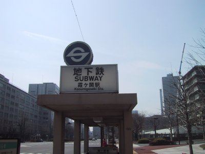 | Eidan Marunouchi Line Kasumigaseki station |
To the top Index of Railways To the index of Marunouchi Line
To Shinjuku - Shinjukusanchome - Yotsuya To Kasumigaseki - Ginza - Tokyo station